I love maps (especially borderline places) and I can’t pass an opportunity to share that with students, especially since we’re studying the details of search on the Web. So, after checking Google Maps and its wondrous capacity to generate and share maps and itineraries, I let my adventurous spirit take over (live during class and in full color).

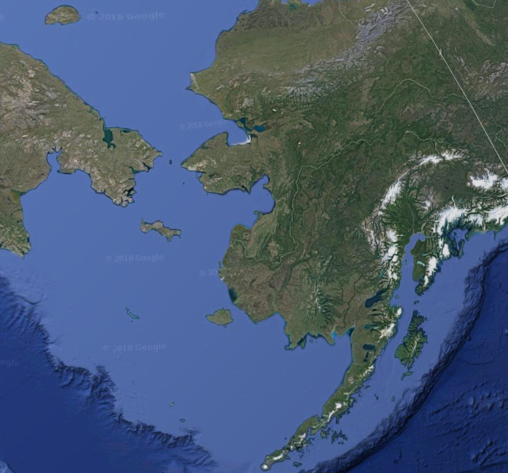

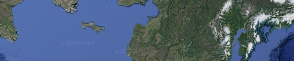
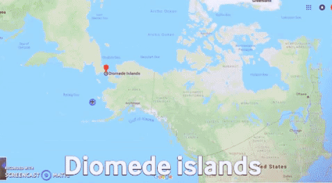
This is why we ended up exploring the magic of Diomede islands, those two small islets just in the middle of the Bering Strait. Students were intrigued since they–like most–ignored all about them. So, one is Russian (the western isle, bigger) and is unpopulated; while the North American one (the eastern isle, mush smaller) has one tiny village which apparently has a small population of permanent residents, and a school.
Somebody swam between the two, and there is no cold (war or whatever) that separates both beyond the coldness of the sea. Such are the travels of the Web-brave.
The Bering strait is just 85 km long (some 50 miles) and of course there have been proposals to build a tunnel or bridge over it. However, as this screenshot from Google shows, people do ask weird or impossible questions:
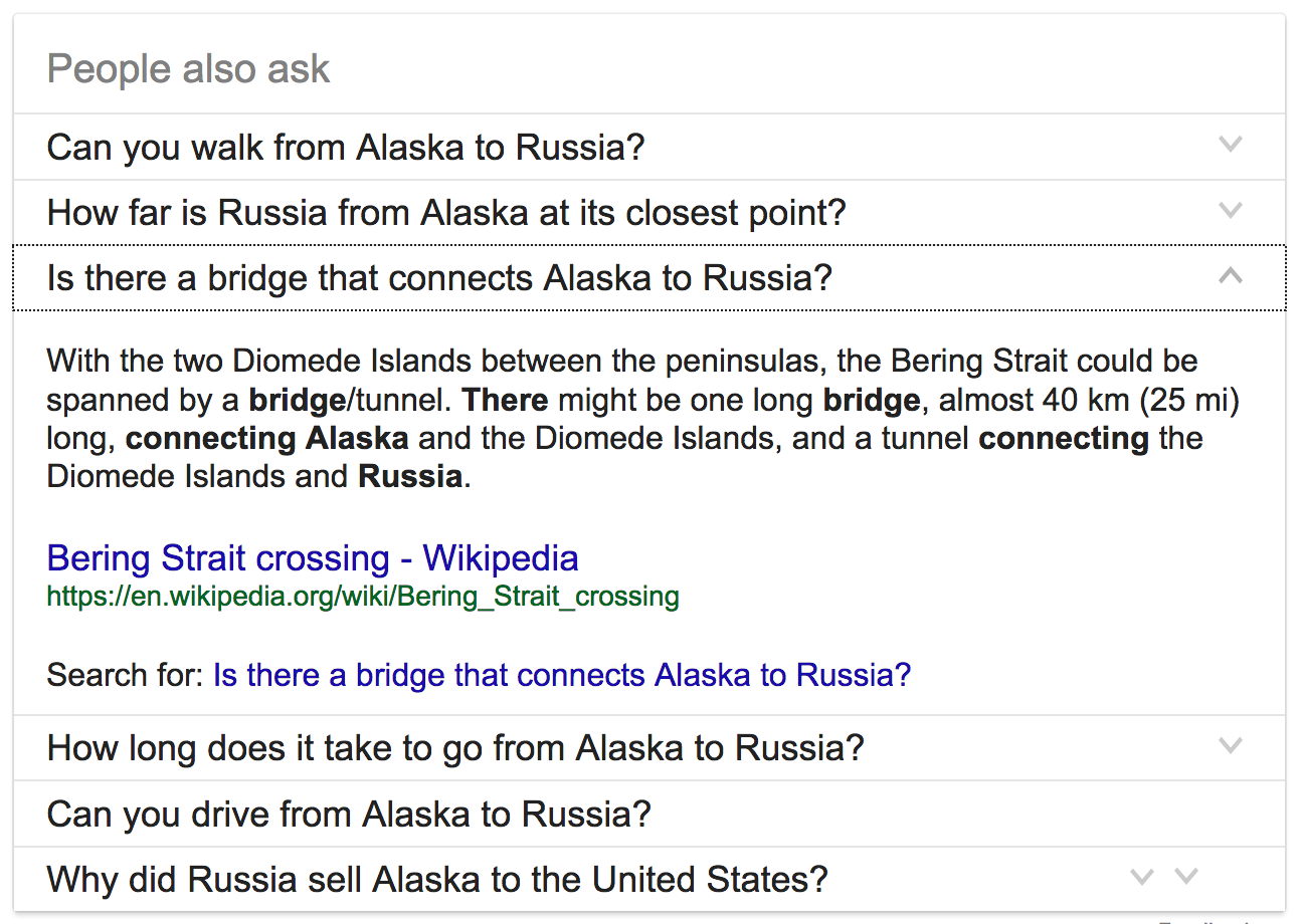
Can you drive from Alaska to Russia?
For this post I did a screencast of the Google Maps zooming in and out (with Screencast-o-matic’s Web-based Screen Recorder), producing one MP4 video file. I converted the MP4 into an animated GIF through Ezgif which also optimized the final file.
All images are screenshots taken by moi.